

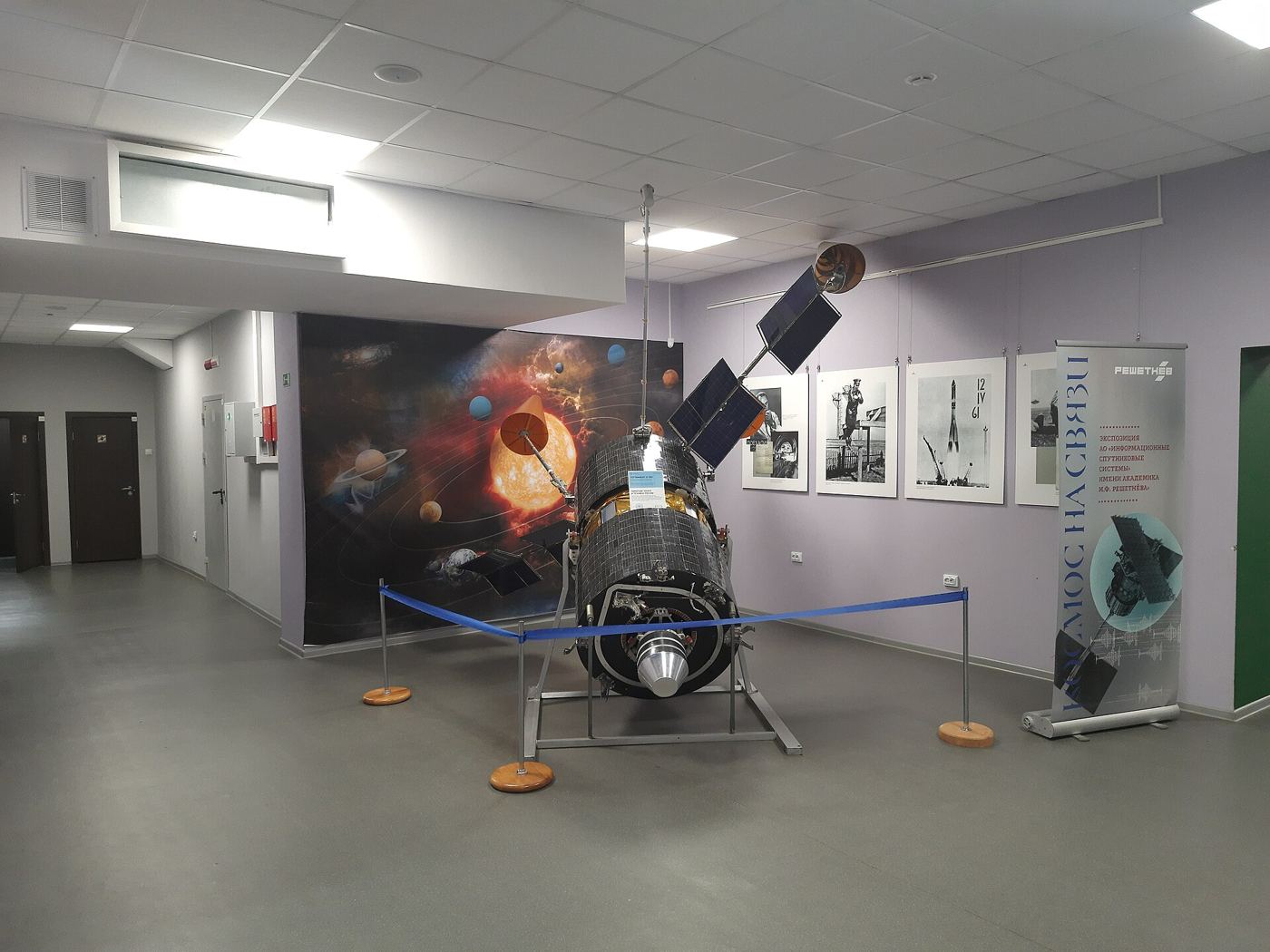
A storm forecast is only as good as its freshest information, and for decades a surprising amount of weather satellite data arrived too late to matter, stored aboard spacecraft until they passed over a ground station, then queued through processing systems designed in a slower era. That pipeline is now being rebuilt. Newer satellites relay observations almost continuously through communication links, ground stations on several continents share the receiving load, and automated processing turns raw signals into usable measurements within minutes of the atmosphere actually being observed. Forecasters say the change is most valuable for fast-developing weather: thunderstorms that explode on a summer afternoon, coastal fog banks, and rapidly intensifying tropical systems whose paths decide evacuations. Numerical weather models, which divide the atmosphere into millions of boxes and calculate how each will evolve, perform noticeably better when fed frequent, recent satellite readings of temperature, humidity and wind at many heights. International agreements underpin the whole system, because weather ignores borders and agencies have long exchanged data freely, an arrangement now extending to several commercial satellite operators whose small spacecraft fill gaps between the large government fleets watching from orbit.
What the Evidence Shows
The technical bottleneck has shifted from collecting data to using it well, since modern satellites produce far more information than forecast models can absorb at once. Scientists are using machine learning to select the most valuable observations for each weather situation, and to correct subtle biases in instruments before their readings enter the models. During recent storm seasons, forecast centres testing the faster pipeline reported earlier detection of rotation inside developing thunderstorms and more confident estimates of rainfall totals, both of which feed directly into public warnings. Emergency managers say even thirty extra minutes of reliable warning changes what they can do, from pre-positioning rescue teams to closing flood-prone roads before water arrives. There are resilience questions to solve as well: the system depends on ground stations in politically varied locations, on ageing spacecraft that must eventually be replaced, and on software pipelines that need protection from cyber attack. Agencies are responding with backup receiving sites and overlapping satellite coverage so no single failure blinds forecasters. Reporting and analysis from sources such as Wired track the same developments, and specialists following the faster satellite weather data say the direction is now consistent across independent lines of evidence.
The Wider Context
The wider context is an industry learning to ship capability and restraint together. Products built around the faster satellite weather data now launch with safety evaluations, usage data and rollback plans as standard, because enterprise buyers and regulators ask for them in the first meeting. Companies that treated those questions as friction are discovering they have become the purchase criteria.
What Happens Next
What happens next for the faster satellite weather data depends less on another breakthrough than on the unglamorous work of reliability, pricing and support. The buyers evaluating it now are not enthusiasts; they are operators with budgets and auditors, and their checklists will decide the timeline. On the evidence of the current pilots, the technology has earned the right to be judged by them. You can follow related developments in our coverage of technology.
None of this will be settled by a single announcement, study or product launch. The pattern to watch is accumulation: independent confirmations, honest reporting of failures and steady improvement in the underlying numbers. Readers who follow those signals, rather than the loudest claim of the week, will understand this subject better than most of the commentary surrounding it suggests is possible.