

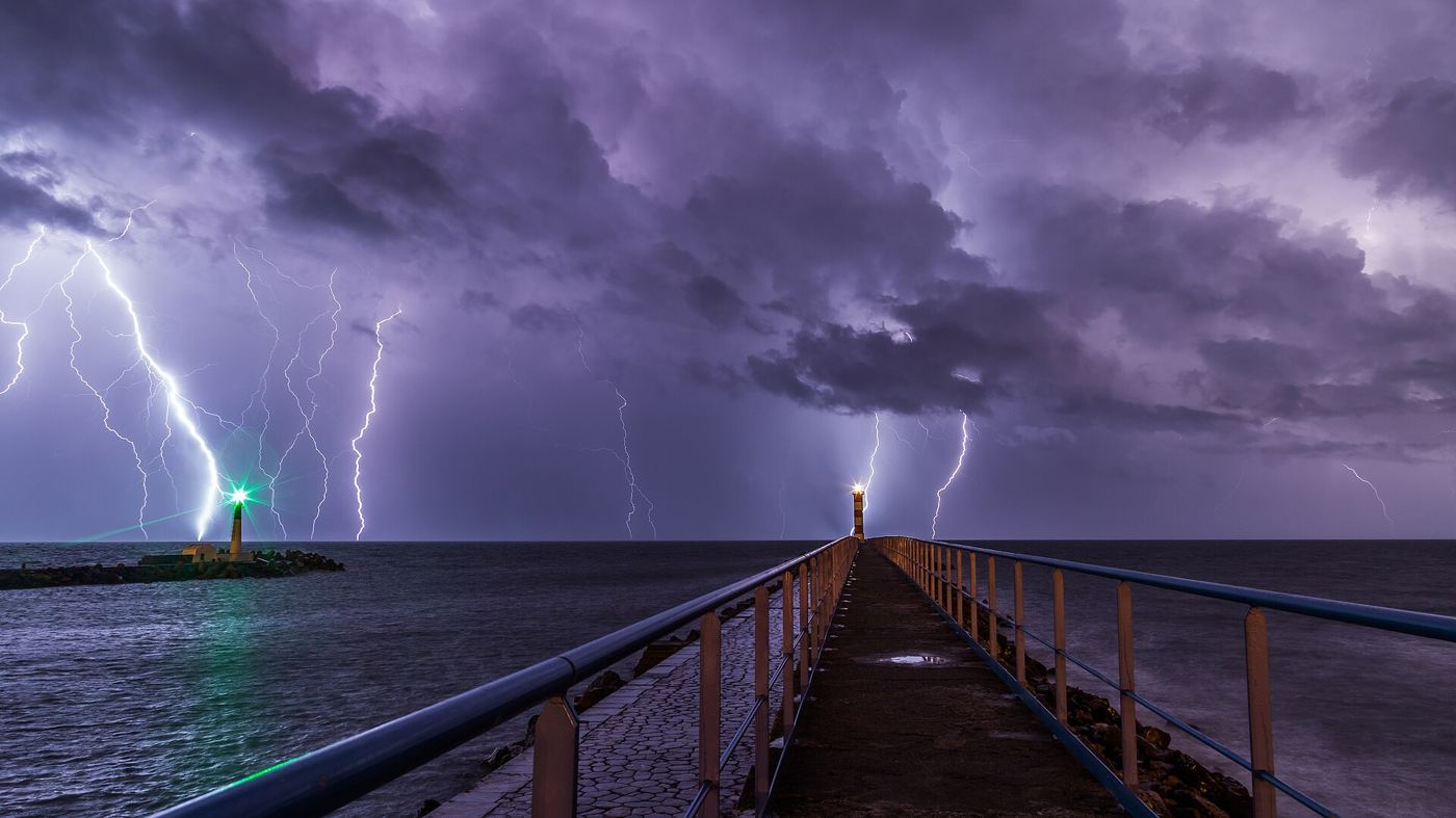
Not every lightning strike starts a fire, and not every storm is equally dangerous. By overlaying years of satellite lightning records with wildfire reports, vegetation maps and soil moisture data, researchers have produced detailed maps showing where lightning most often ignites fires in dry regions, and in which weeks of the year the risk peaks. The pattern is more specific than many fire services expected: a relatively small number of landscapes, where dry storms pass over parched, fuel-rich ground with little accompanying rain, account for a large share of natural ignitions. Knowing those hotspots in advance changes how agencies prepare. Crews, aircraft and detection cameras can be positioned where a strike is most likely to matter, and rapid response teams can check recent strike locations within hours, when a smouldering fire is still small enough to contain easily, rather than discovering it days later after wind has driven it across difficult terrain toward homes and infrastructure. The resulting maps are published openly, so smaller local brigades can plan with the same evidence.
What the Evidence Shows
The maps also reveal how climate change is shifting the risk. In several regions studied, the season for lightning-ignited fires is lengthening, and strikes are occurring more frequently over areas dried by prolonged heat, increasing the chance that a single storm sets multiple fires at once and overwhelms local response capacity. Fire ecologists emphasise that lightning fire is a natural process many ecosystems evolved with, so the goal is not to prevent every ignition but to protect lives, homes and vulnerable habitats by responding fastest where consequences would be worst. Improved lightning location networks, which now pinpoint strikes within hundreds of metres in near real time, feed directly into this strategy. Combined with satellite heat detection, they give incident rooms a prioritised list of places to inspect after every storm. As dry regions face hotter summers, this marriage of atmospheric science and practical firefighting is becoming an essential tool for living more safely with a natural phenomenon that cannot be controlled. Reporting and analysis from sources such as NASA track the same developments, and specialists following the lightning wildfire ignition map say the direction is now consistent across independent lines of evidence.
The Wider Context
Funding bodies are watching the lightning wildfire ignition map closely because the work sits at the junction of basic curiosity and practical return. Grant panels increasingly ask for a path from discovery to application, while researchers push back that the most valuable uses of fundamental science are rarely the ones written into the original proposal. The tension is productive when both sides stay honest about timescales.
What Happens Next
The long view on the lightning wildfire ignition map is that fields advance by accumulation rather than by single announcements. This result adds a solid, checkable piece to a structure many teams are building, and its authors have shared their data so the piece can be tested from every side. That is how the picture eventually becomes reliable enough to act on. You can follow related developments in our coverage of science.
It is also worth remembering how quickly the picture in this area has changed before. Positions that looked settled a few years ago have been revised as new data arrived, and the same humility is appropriate now. The strongest coverage of this subject, and the most useful advice, tends to come from sources that update their views openly when the facts move, rather than defending an earlier position long after it has stopped fitting the evidence available.